Liberal rag ‘The Economist’ endorses Obama for president
Liberal rag ‘The Economist’ endorses Obama for president
Laments, as I’m sure does he by now, the Palin pick and wonders what could have been if only the real McCain had been running.
Liberal rag ‘The Economist’ endorses Obama for president
Laments, as I’m sure does he by now, the Palin pick and wonders what could have been if only the real McCain had been running.
Flickr reverse-geocoded a bunch of photos to create a bunch of GIS-like shape files
This is ridiculous cool - using people’s photos, they’ve created freely available shape files that works from the neighborhood level to the continent.
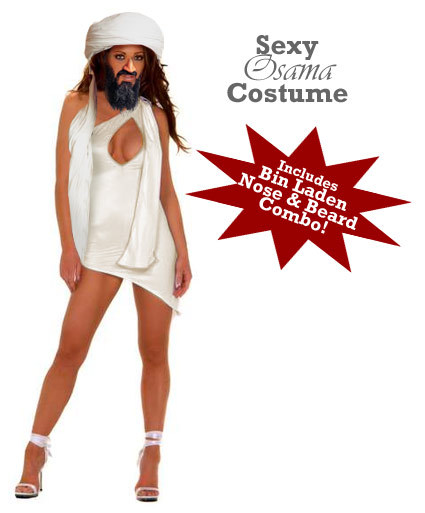
Have a sexy Halloween
What kind of odds could you have gotten in 1908 that a black dude would get elected president before the Cubs won the Series again?
—Nate Silver, of fivethirtyeight.com
[via livejamie]
The unfinished swan looks gorgeous
Carol Blymire finishes the French Laundry at home
Incredibly well written journey through the French Laundry cookbook, she’s now moved on to Alinea
Crunking Crumping you can believe in (my thanks to Mike Davidson for correcting my hip urban lingo)